Asia
ဂျပန်နိုင်ငံသို့ အားကောင်းသော အပူပိုင်းမုန်တိုင်း ချဉ်းကပ်၊ တာဝန်ရှိသူများက သတိပေး
တိုကျို၊ စက်တင်ဘာ ၁၆ ရက် (ဆင်ဟွာ)
အားကောင်းသော အပူပိုင်းမုန်တိုင်း ချန်သူ (Chanthu) သည် ဂျပန်နိုင်ငံသို့ ချဉ်းကပ်ဝင်ရောက်မည်ဟု ခန့်မှန်းထားပြီး မြောက်ပိုင်းမှ အနောက်ပိုင်းသို့ စက်တင်ဘာ ၁၈ အထိ ဝင်ရောက်နိုင်သည်ဟု ခန့်မှန်းထားသဖြင့် နိုင်ငံ အနောက်ပိုင်းတွင် မြေပြိုခြင်း၊ လေပြင်းတိုက်ခတ်ခြင်းနှင့် လှိုင်းကြီးခြင်းများအတွက် ပြည်သူများ သတိရှိစွာနိုးနိုးကြားကြား နေထိုင်ရန် ဂျပန် မိုးလေဝသအေဂျင်စီ (JMA) က ပြောကြားခဲ့သည်။လွန်ခဲ့သော ရက်များက အရှေ့တရုတ်ပင်လယ်အတွင်း လှည့်ပတ်ပြီးနောက် ယခုအခါ အနောက်မြောက်ဘက်ကို ဦးတည်ရွေ့လျားနေသော ချန်သူမုန်တိုင်း၏ လမ်းကြောင်းသည် ရွေ့လျားသွားရန် ခန့်မှန်းထားသည်။ အဆိုပါ မုန်တိုင်းသည် စက်တင်ဘာ ၁၇ ရက် နံနက်ပိုင်းတွင် အားနည်းသော လေဖိအားနည်းရပ်ဝန်းအဖြစ်သို့ ပြောင်းလဲသွားဖွယ်ရှိပြီး ဂျပန်နိုင်ငံ အနောက်ဘက်သို့ မိုးသည်းထန်ခြင်းနှင့် လေပြင်းတိုက်ခတ်ခြင်းများ ဖြည်းဖြည်းချင်း သယ်ဆောင်သွားဖွယ်ရှိကြောင်း JMA က ပြောခဲ့သည်။
ယင်းမုန်တိုင်းကြောင့် စက်တင်ဘာ ၁၇ ရက် နံနက်ပိုင်းအထိ ၂၄ နာရီအတွင်း ရှီခိုခုဒေသတွင် မိုးရေချိန် ၁၅၀ မီလီမီတာ၊ တောင်ပိုင်း ကျူရှူတွင် ၁၂၀ မီလီမီတာနှင့် မြောက်ပိုင်း ကျူရှူတွင် ၁၀၀ မီလီမီတာ အသီးသီးရောက်ရှိနိုင်ကြောင်း ခန့်မှန်းထားသည်။
စက်တင်ဘာ ၁၇ ရက် နံနက်ပိုင်းအထိ ၂၄ နာရီအတွင်း ရှီခိုခု၊ Kinki ၊ Tokai ဒေသများတွင် မိုးရေချိန် ၂၀၀ မှ ၃၀၀ မီလီမီတာ၊ မြောက်ပိုင်း ကျူရှူနှင့် ချူဂိုခူတို့တွင် မိုးရေချိန် ၁၀၀ မှ ၂၀၀ မီလီမီတာအထိ၊ တောင်ပိုင်း ကျူရှူတွင် ၁၅၀ မီလီမီတာ ရွာသွန်းနိုင်မည်ဟု ခန့်မှန်းထားသည်။
JMA အဆိုအရ ဂျပန်နိုင်ငံ အနောက်ပိုင်းတွင် စက်တင်ဘာ ၁၇ ရက်မှ ၁၈ ရက်အထိ လေပြင်းတိုက်ခတ်ခြင်းများနှင့် ပင်လယ်လှိုင်းကြမ်းများ ကျရောက်နိုင်ကြောင်း၊ ဂျပန်နိုင်ငံ မြောက်ပိုင်းနှင့် အရှေ့ပိုင်းတွင် လေတိုက်အားကောင်းနိုင်မည်ဟု ခန့်မှန်းထားကြောင်း သိရသည်။
ပြည်သူများကိုလည်း လေပြင်းတိုက်ခတ်ခြင်းများနှင့် လှိုင်းကြီးခြင်းများအတွက် သတိပြုကြရန် တာဝန်ရှိသူများက ပြောကြားခဲ့သည်။ (Xinhua)
…………………………………………
(English Version)
Severe tropical storm approaches Japan, officials call for caution
TOKYO, Sept. 16 (Xinhua) — The Japan Meteorological Agency (JMA) said Thursday that severe tropical storm Chanthu is forecast to approach Japan, calling people to stay alert for landslides, heavy winds and high waves in western Japan, as rough weather is projected from northern to western Japan through Saturday.
Chanthu, now heading northwest after spinning over the East China Sea the previous days, is expected to alter its tracks. It will possibly turn into a low-pressure system on Friday morning, carrying gradually intensifying rain and winds to western Japan, the JMA said.
The storm is expected to bring precipitation possibly reaching 150 mm in the Shikoku region, 120 mm in southern Kyushu, and 100 mm in northern Kyushu in the 24 hours through Friday morning.
For the 24 hours through Saturday morning, there is forecast to be rainfall of 200 to 300 mm in the Shikoku, Kinki and Tokai regions, 100 to 200 mm in northern Kyushu and Chugoku, and 100 to 150 mm in southern Kyushu.
According to the JMA, stormy winds and rough seas in western Japan from Friday through Saturday are expected, with strengthening winds in northern and eastern Japan.
The officials called for people’s caution against strong winds and monster waves. Enditem
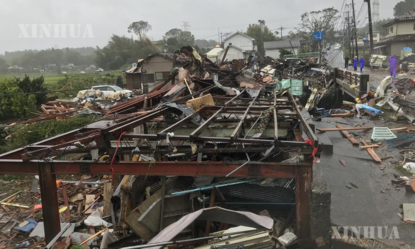
Photo taken on Oct. 12, 2019 shows the scene after a tornado hit Chiba Prefecture near Tokyo, Japan. (Xinhua/Deng Min)