
News
တရုတ်နိုင်ငံက သဘာဝဘေးအန္တရာယ်စူးစမ်းလေ့လာရေးအတွက် ဂြိုဟ်တုစုစည်းမှု တည်ဆောက်မည်
ထျန်းကျင်း၊ ဩဂုတ် ၂၅ ရက် (ဆင်ဟွာ)
တရုတ်နိုင်ငံက သဘာဝဘေးအန္တရာယ် ကြိုတင်ခန့်မှန်းခြင်းနှင့် မြို့ပြအရေးပေါ်အခြေအနေများ စောင့်ကြည့်ခြင်းအတွက် အချက်အလက်စုစည်းရန် ဂြိုဟ်ပတ်လမ်းကြောင်းနိမ့် ဂြိုဟ်တု ၃၆ လုံးစုစည်းမှု တည်ဆောက်ရေးစီမံကိန်းတစ်ခုကို စတင်ဆောင်ရွက်နေပြီဖြစ်ကြောင်း သိရသည်။Tianjin Satcom Geohe Technologies ကုမ္ပဏီလီမိတက်မှ တာဝန်ယူထားသော စီမံကိန်းအား တရုတ်နိုင်ငံ တောင်ပိုင်း ဟိုင်နန်ပြည်နယ် ဝန်ချန်း အာကာသယာဉ်များလွှတ်တင်ရေးစင်တာတွင် ဩဂုတ် ၂၄ ရက်က ဖွင့်လှစ်ခဲ့ခြင်းဖြစ်သည်။
ပထမဆုံးဂြိုဟ်တုအား ၂၀၂၂ ခုနှစ် ဇွန်လတွင် လွှတ်တင်မည်ဖြစ်ကာ အာကာသ၌ တာဝန်ထမ်းဆောင်မည်ဖြစ်သည်။ ဂြိုဟ်တု ၃၆ လုံးကို ဂြိုဟ်တုစုစည်းမှုလုပ်ငန်း ပြီးစီးရန် ၂၀၂၃ ခုနှစ် မေလကုန်တွင် လွှတ်တင်သွားမည်ဖြစ်ကြောင်း တရုတ်နိုင်ငံ ထျန်းကျင်းမြူနီစီပယ်ရှိ နည်းပညာလုပ်ငန်း၏ ဥက္ကဋ္ဌ Guo Jianqiang က ပြောခဲ့သည်။
ဂြိုဟ်တုကွန်ရက်သည် မြေပြိုခြင်း၊ မြေကျွံခြင်းနှင့် ပြိုကျခြင်းကဲ့သို့သော ဘူမိဗေဒဆိုင်ရာ သဘာဝဘေးအန္တရာယ်ဖြစ်ပွားနိုင်ခြေအရ ဘူမိဗေဒဆိုင်ရာ ပုံစံတကျမရှိမှုများကို မီလီမီတာအဆင့်အထိ ခွဲခြမ်းစိတ်ဖြာကာ လေ့လာသူများအား ကူညီပေးရန် ရုပ်ထွက်မြင့်မားသည့် ဓာတ်ပုံများ ပံ့ပိုးပေးသွားမည်ဖြစ်ကြောင်း တရုတ်နိုင်ငံ ဘူမိဗေဒလေ့လာရေး တာဝန်ရှိသူလည်းဖြစ်သူ Guo က ပြောခဲ့သည်။ (Xinhua)
…………………………………………
(English Version)
China to build satellite constellation for natural disaster observation
TIANJIN, Aug. 25 (Xinhua) — China has initiated a project of building a constellation of 36 low-orbit satellites to gather information for forecasting natural disasters and monitoring urban emergencies.
The project undertaken by the Tianjin Satcom Geohe Technologies Co., Ltd. was inaugurated on Tuesday in China’s spacecraft launch center of Wenchang, in south China’s Hainan Province.
Guo Jianqiang, president of the tech firm based in north China’s Tianjin Municipality, said the first satellite will be launched and commissioned in space in June 2022. All 36 satellites will have been launched by the end of May in 2023 to complete the constellation.
The satellite network will provide high-resolution images to help observers identify millimeter-level geological deformations in order to gauge the possibilities of geological disasters, such as landslide, subsidence and collapse, said Guo, also an official with China Geological Survey. Enditem
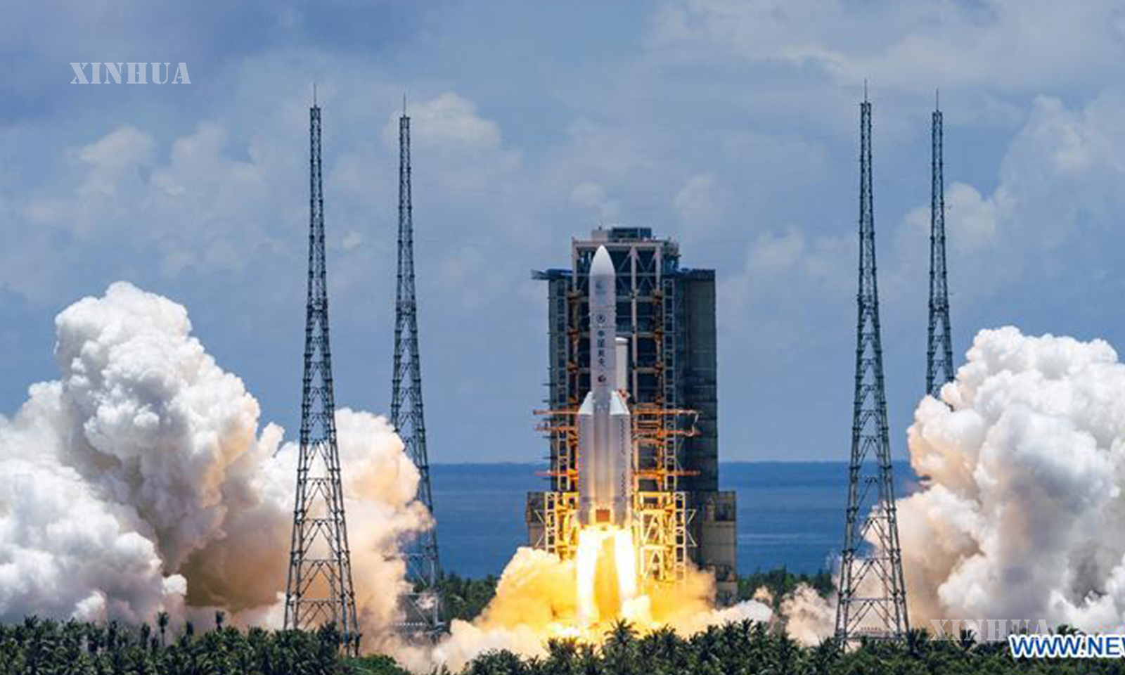
Photo : A Mars probe is launched on a Long March-5 rocket from the Wenchang Spacecraft Launch Site in south China’s Hainan Province, July 23, 2020. (Xinhua/Cai Yang)